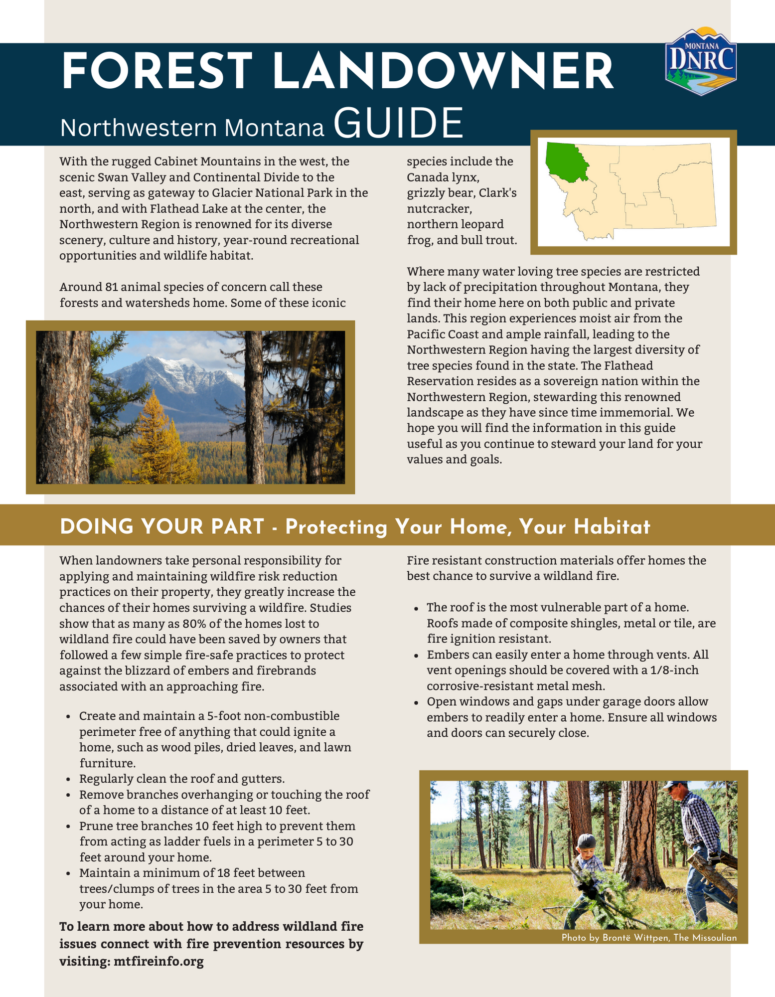
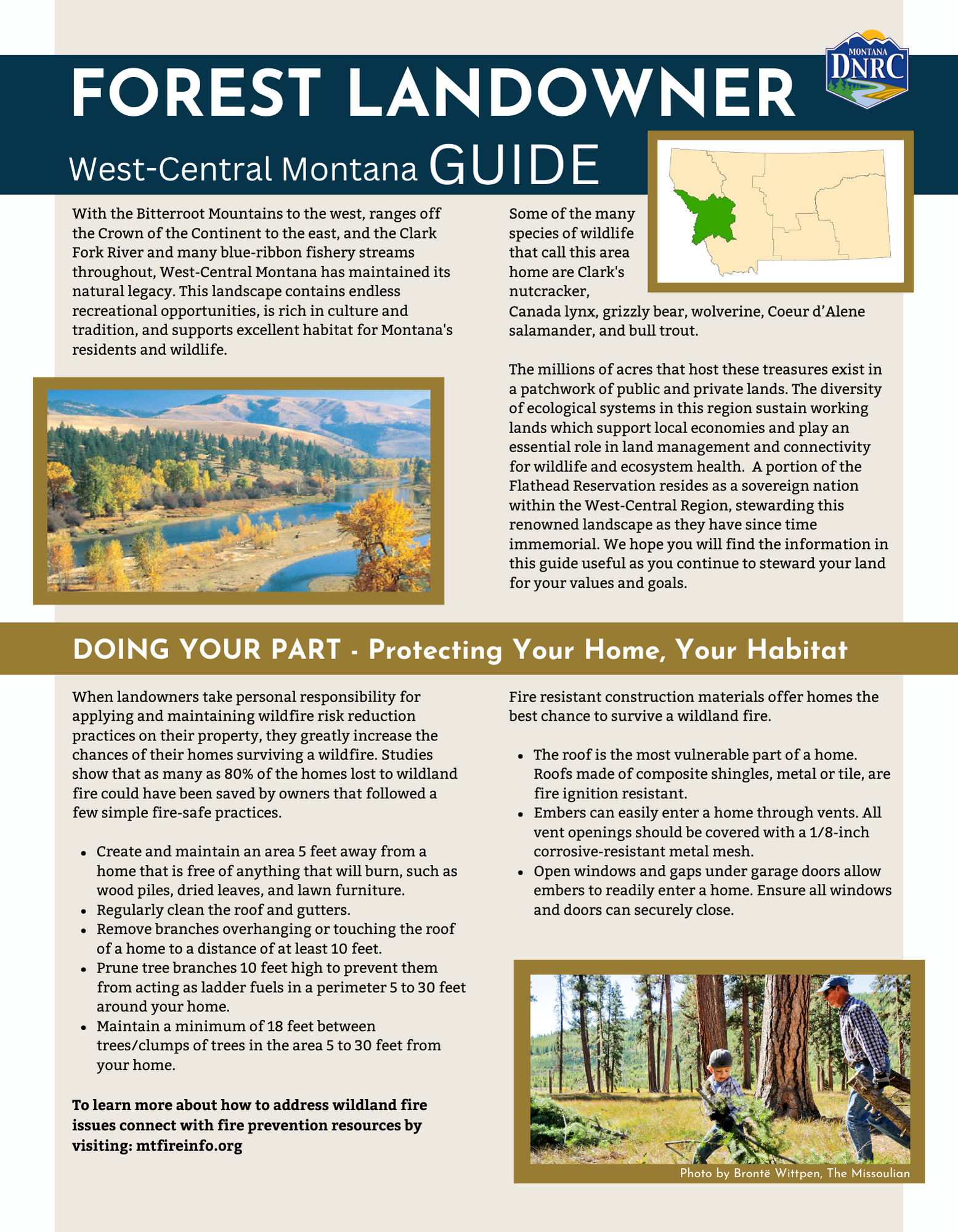
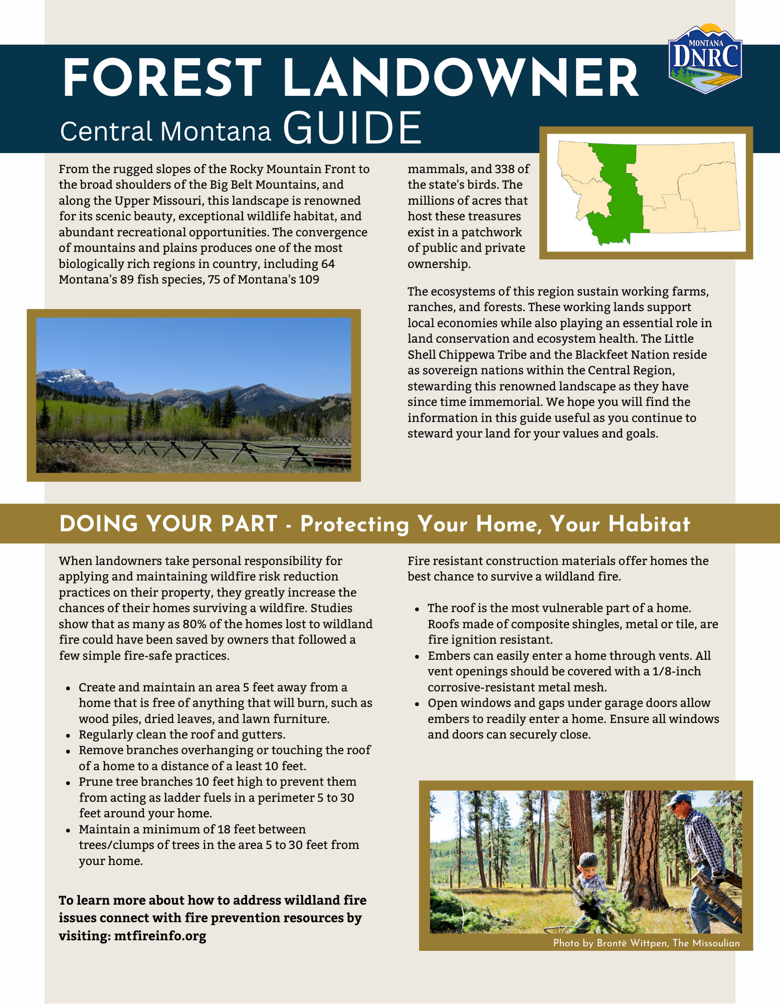
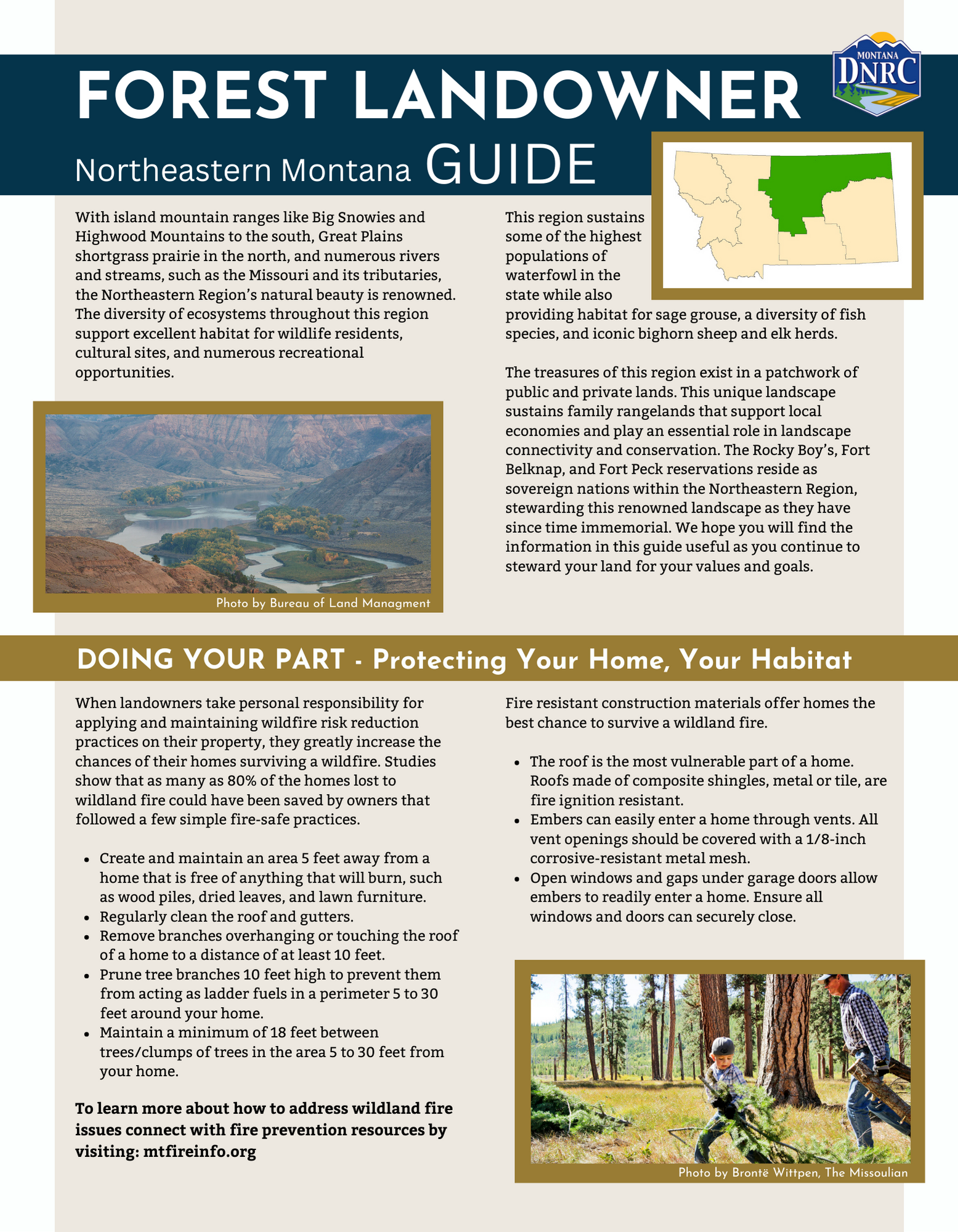
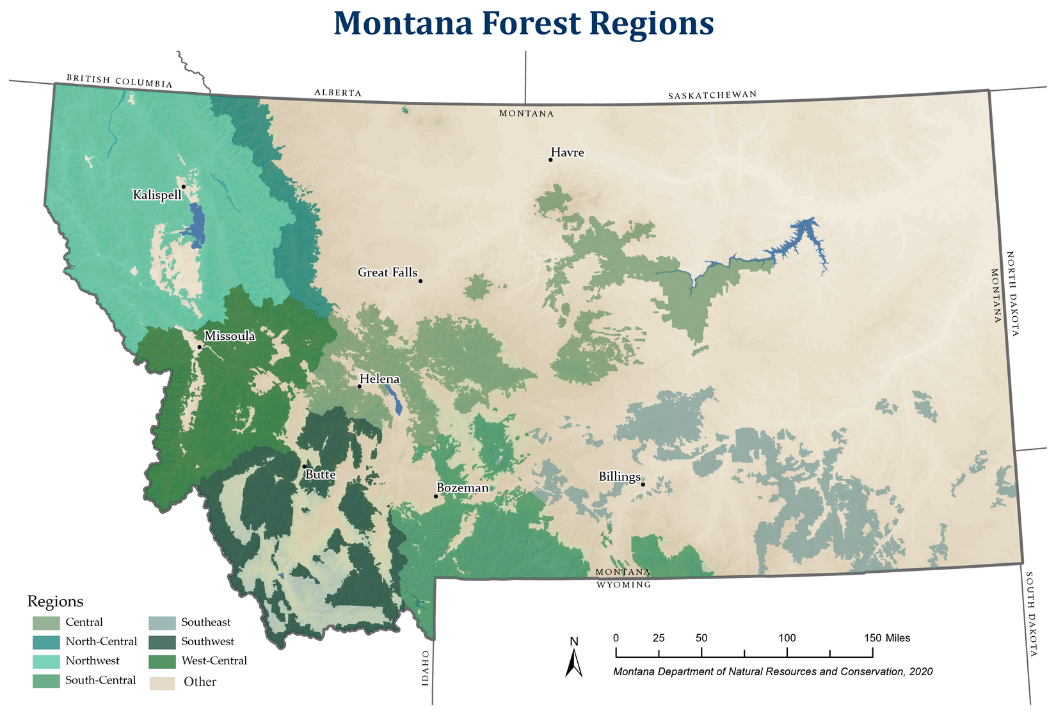
Montana's Forest Regions
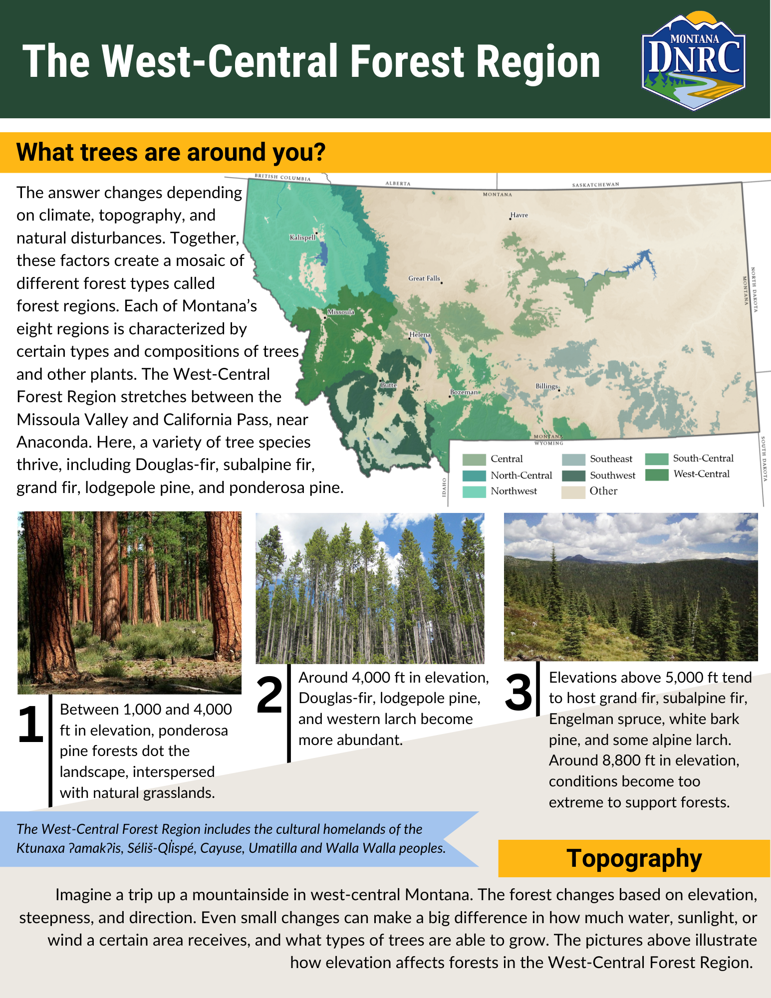
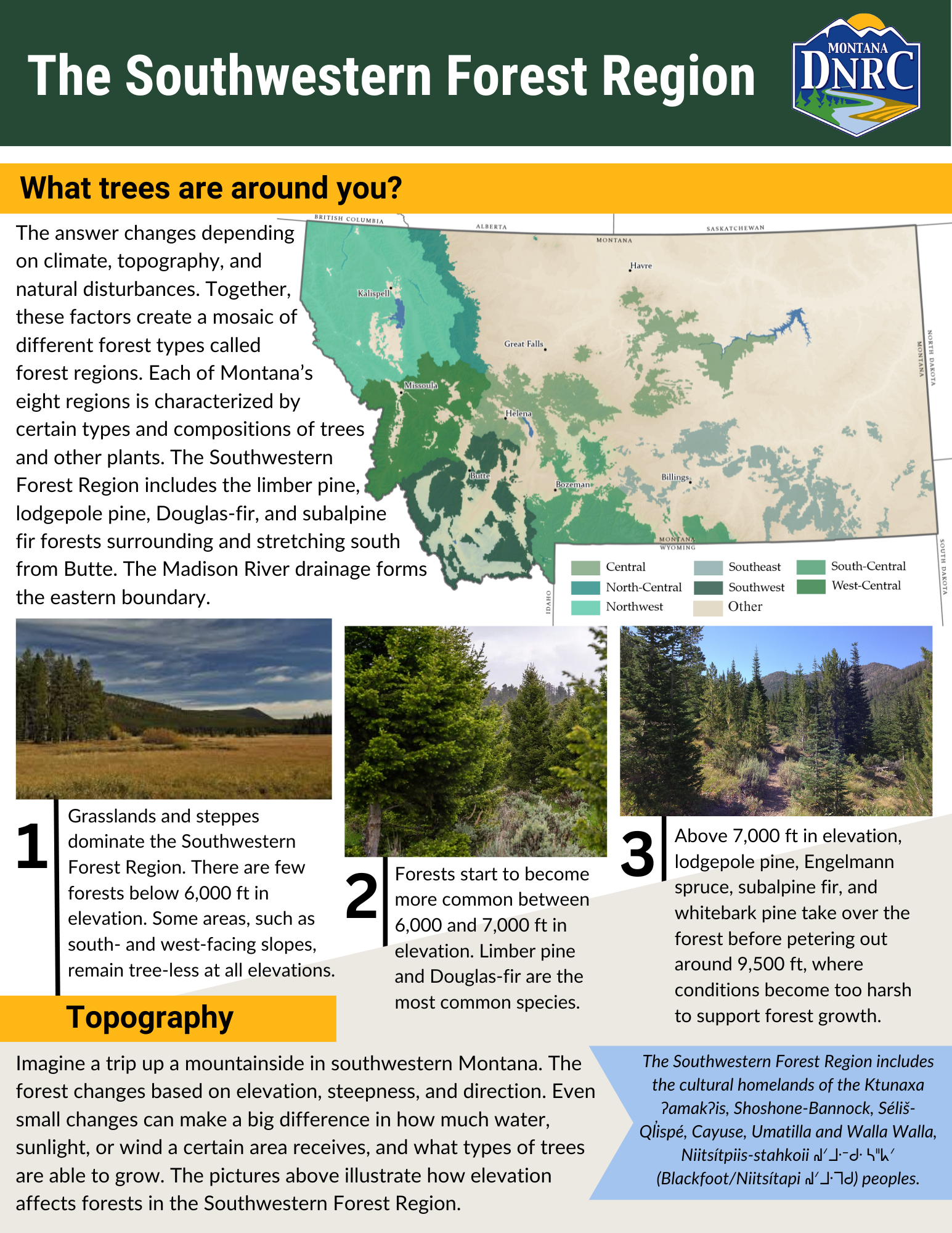
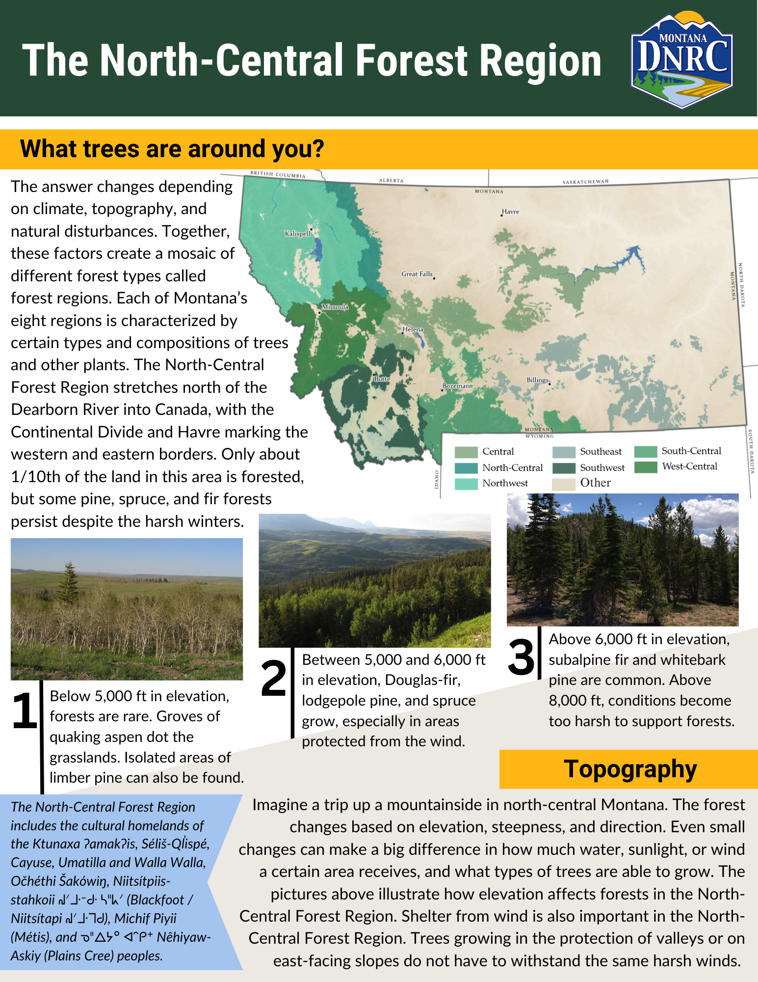
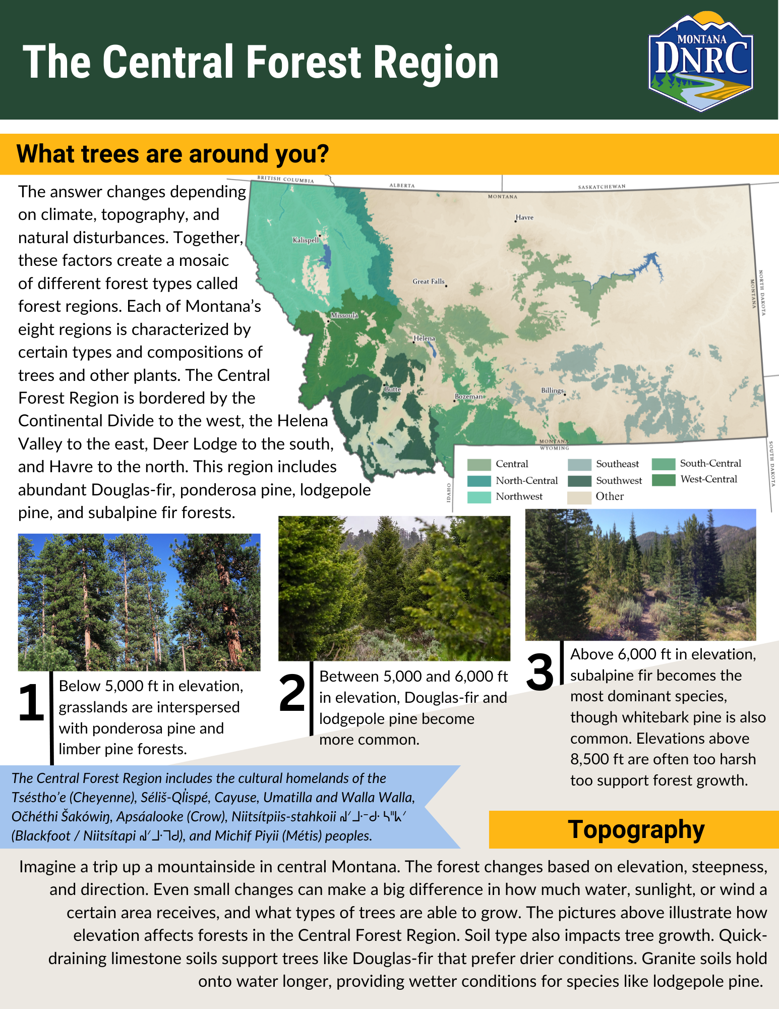
Montana has over 23 million acres of forested land. These forests are diverse and span most of the state. They help support air and water quality, recreational opportunities, critical wildlife habitat, and livelihoods in Montana. The millions of acres that host these forest treasures exist in a patchwork of public and private ownership.
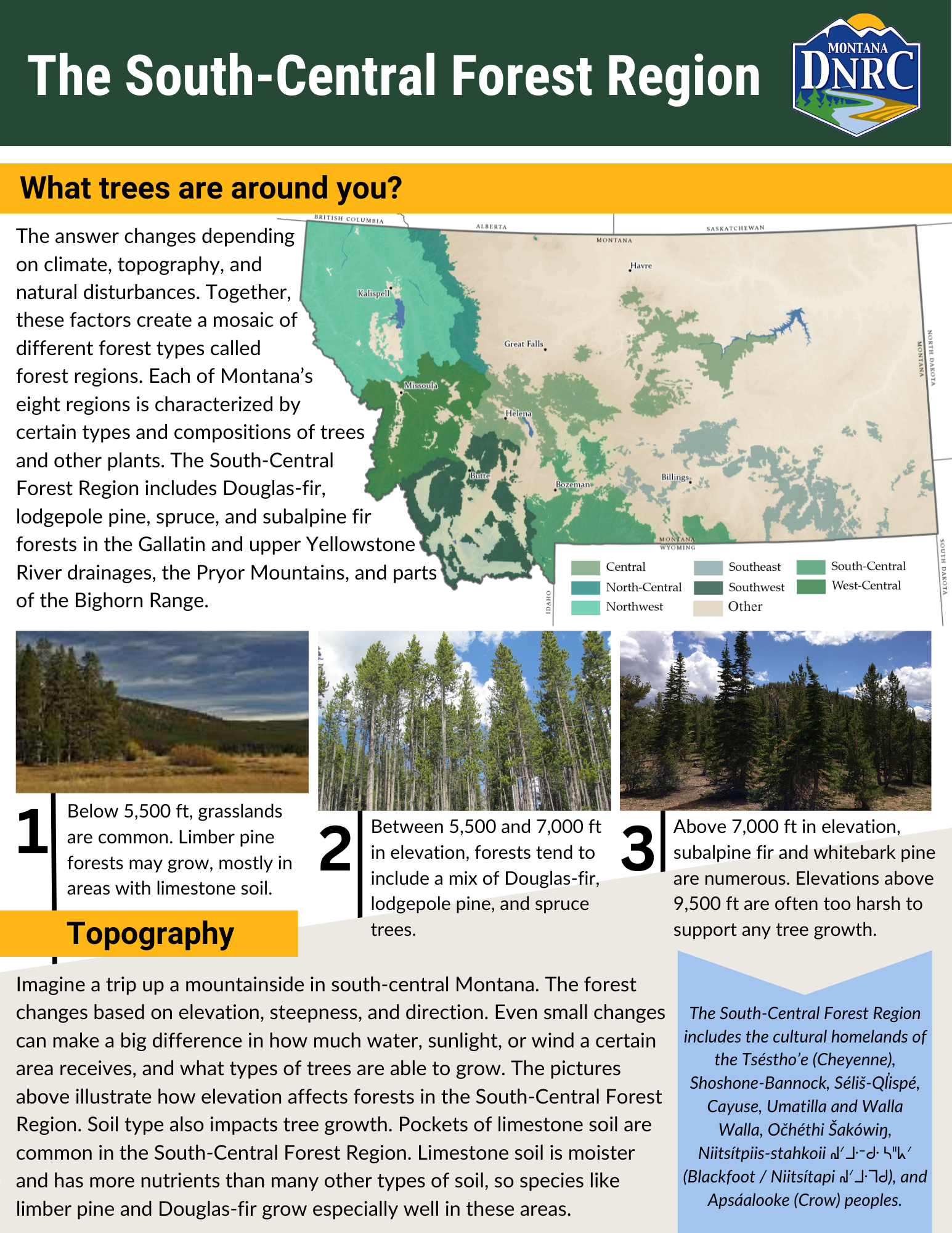
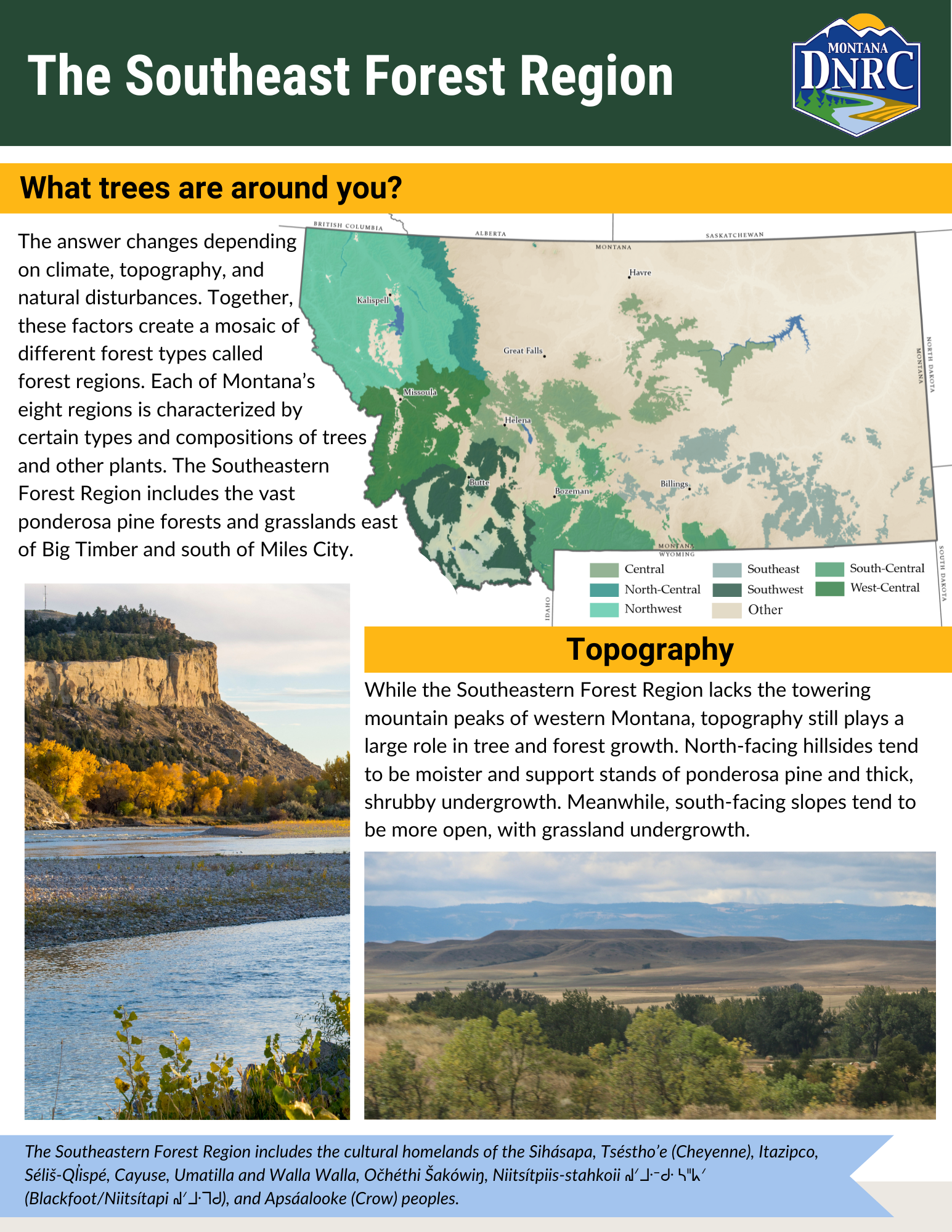
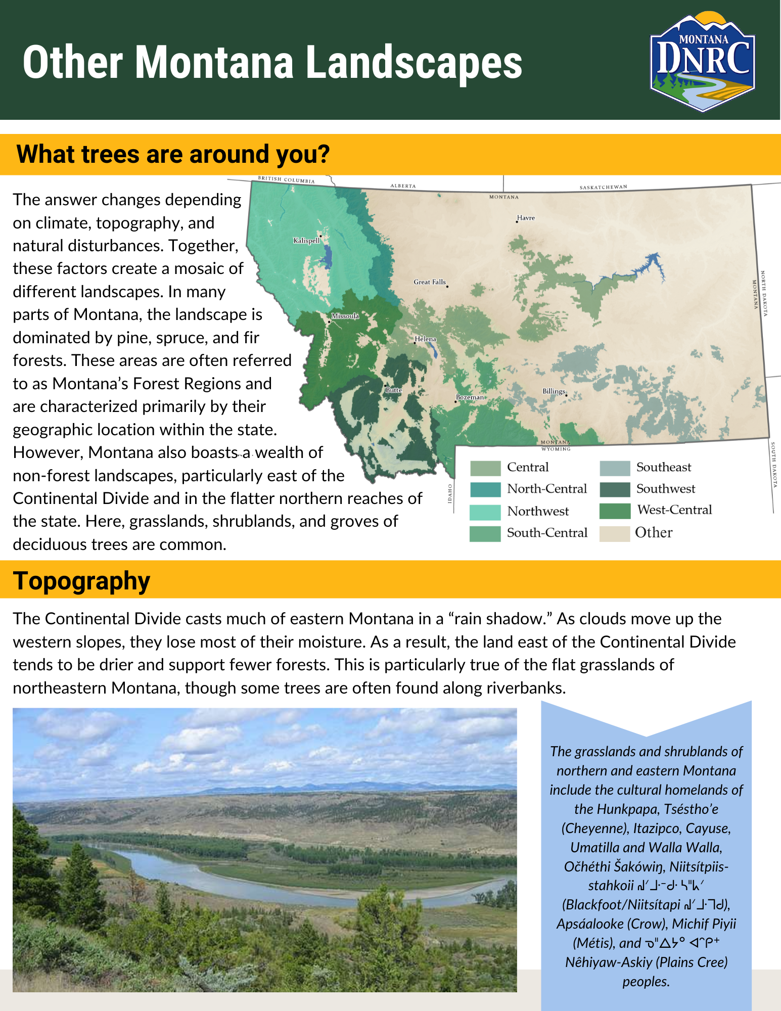
From the mixed conifer forests of western Montana to the riparian cottonwood stands of the eastern Montana, Montana's forest regions are defined by differences in vegetation. Each region has differences in climate and topography that influence how many and what types of trees grow there.
To learn about your forest region, find your property's location on the map below. Then, scroll down and click on the corresponding Forest Region Snapshot for an overview of common forest characteristics. To learn about management considerations specific to your forest region, view the corresponding Forest Landowner Guide.
Forest Region Snapshots
Forest Landowner Regional Guides
From reducing your wildfire risk to mitigating forest insects and diseases, these Forest Landowner Regional Guides go through some general forest health information and management options with contact resources specific to the region you live in.