Water planning is an art and a science. The vision for water use in many western states, including Montana, is outlined by a State Water Plan that recommends ways to meet current and future water uses. Plans often include water use and availability data and projections. They may incorporate conservation targets.
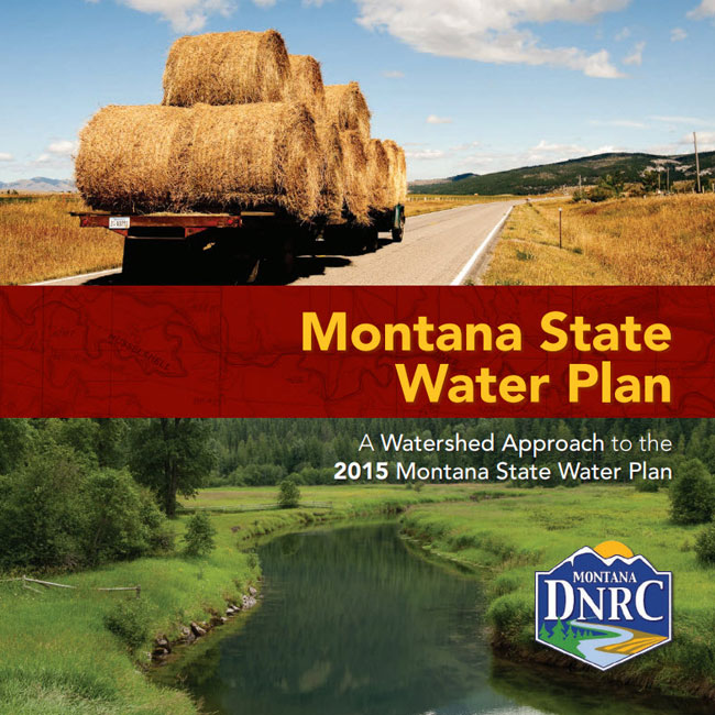
2015 Montana State Water Plan
The 2015 State Water Plan is a synthesis of the vision and efforts of regional Basin Advisory Councils (BACs) established in Montana’s four main river basins: the Clark Fork/Kootenai, Upper Missouri, Lower Missouri, and the Yellowstone. DNRC has pulled together the work of the 80 members of the four BACs into a plan that addresses water management issues on a statewide basis.
Regional Basin Plans and Studies
Plans and studies on surface water and groundwater management are organized by regional watershed basins. For detailed reports and technical information on surface water and groundwater management, select a river basin below.
Major River Basins
Clark Fork/Kootenai River Basins

Planner Contact Information
Lower Missouri Basin Information (Vacant) Please contact Valerie Kurth
Upper Missouri Basin Information Danika Holmes
Yellowstone Basin Information Sale Rhodes
Clark Fork/Kootenai Basin Information Valerie Kurth