The Confederated Salish & Kootenai Tribes (CSKT) – Montana Water Rights Compact divided the former Milltown Dam hydropower water right into two separate water rights and added CSKT as a co-owner with Montana Fish, Wildlife & Parks (FWP). The State and CSKT agreed to defer enforcement of the water right for 10 years from the date the Montana Legislature passed the CSKT Compact.
As of April 24, 2025, the Milltown Water Right is now enforceable.
The FWP and CSKT have been meeting with water users and watershed groups in the Blackfoot and Clark Fork basins to discuss water management and drought planning with the goal of minimizing impacts to water users while still meeting fisheries conservation goals.
Background Information
The Milltown water right was originally appropriated on December 11, 1904, as an instream hydropower right to generate electricity at the Milltown Dam for the Bonner lumber mill. It was continuously used for hydropower generation and remained an active water right even as ownership changed over time.
In 2008, the State acquired the water right through the Upper Clark Fork River Basin Superfund settlement, with the intent to use it to help restore the fishery and recreational uses of the river. The Milltown water right was later included in the CSKT Compact, along with several limitations intended to reduce its impact on other water users.
Affected Area
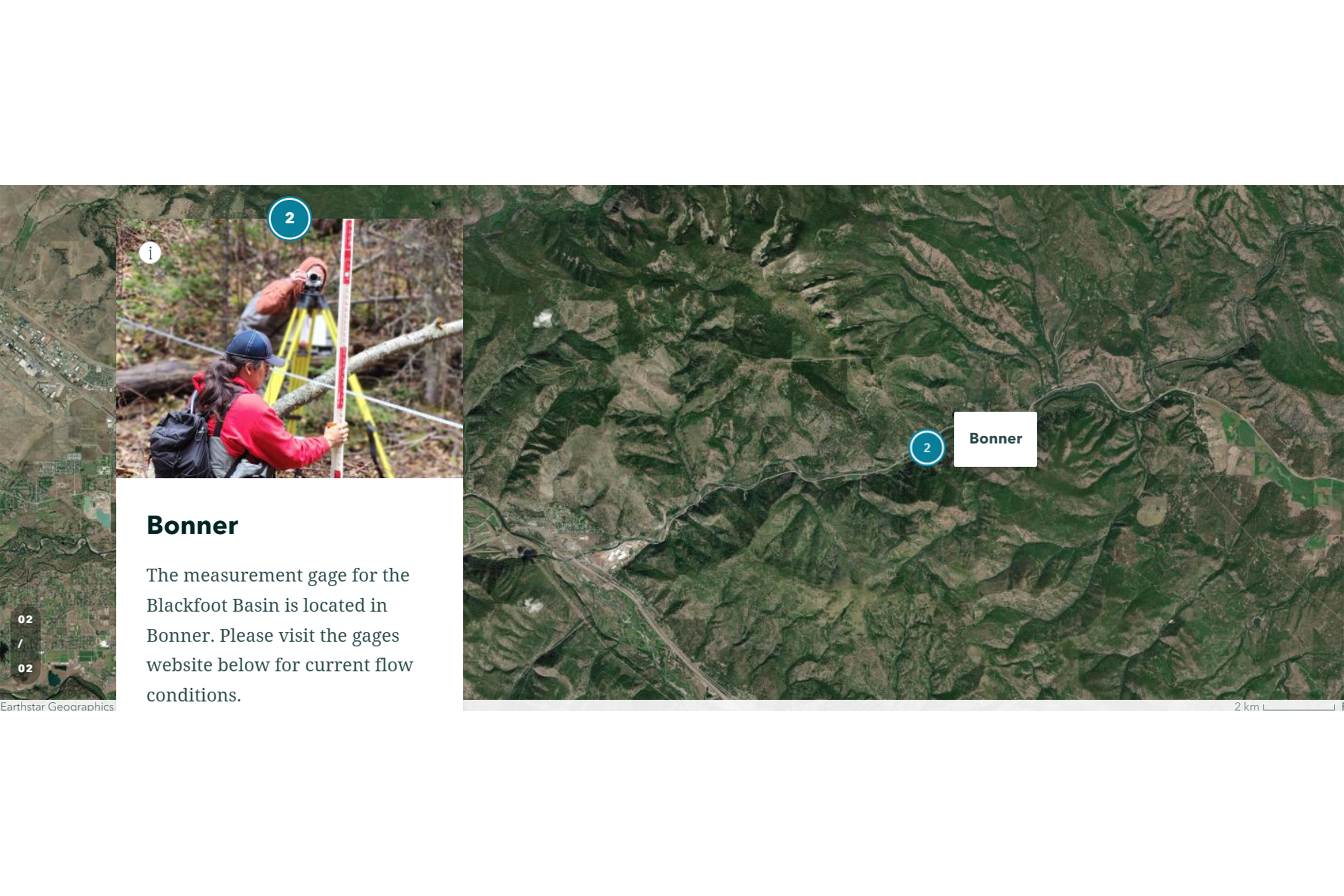
This interactive map shows irrigation water rights in the Upper Clark Fork and the Blackfoot River basins. The map symbolizes points of diversion and places of use, indicates whether water rights are junior or senior to the Milltown water right, and shows whether they are groundwater or surface water rights. Select the image link below to open the map.