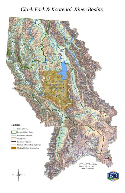
The Clark Fork/Kootenai River Basin lies west of the Continental Divide and includes the Bitterroot and Flathead River Basins, as well as Flathead Lake and much of Glacier National Park. Available below is the 2014 Clark Fork and Kootenai Basin Water Plan as well as information on the water resources in the Clark Fork and Kootenai River Basins.
For more information regarding watershed planning in the Clark Fork and Kootenai River Basins please contact Valerie Kurth - (406) 444-6627.
For more information regarding watershed planning in the Clark Fork and Kootenai River Basins please contact Valerie Kurth - (406) 444-6627.
Clark Fork / Kootenai Basins Information
Clark Fork Kootenai River Basins Plan - 2014 View the Report
- Appendix I–1 - Clark Fork/Kootenai Task Force Recommendations Development Report
- Appendix II–1 - Status Report of 2004 Clark Fork Basin Plan Recommendations
- Appendix III–1 - Socioeconomic Portrait of the Clark Fork/Kootenai River Basins
- Appendix IV-1 - 4th Code HUC River Sub-Basins in the Clark Fork/Kootenai River Basins
- Appendix V–1 - Methods for Estimating Water Use for the State Water Plan
- Appendix V–2 - Instream Flow Rights in the Clark Fork/Kootenai River Basins
- Appendix VII–1 - Potential Future Water Demands Modeling Methods
Lolo Creek Pilot Basin Study
The Lolo Creek Pilot Basin Study report is being written as a 2-part series.
Part I - Describes the hydrologic cycle of the Lolo Watershed and basin-wide water use for a four year period (2016-2019).
Part II - Provides watershed modeling results for past streamflows and landscape water balance components such as evapotranspiration and soil moisture. This allows analysis of long-term trends to explore management options under various water supply scenarios.
Lolo Creek Pilot Basin Study Report - Part 1
Appendix A - Lolo Creek Pilot Basin Study Report - Part 1
Digital Data - Contact Todd Blythe for a copy of the Lolo Creek Pilot Basin Study Part 1 Digital Data Set (341MB zip file)
Additional Clark Fork / Kootenai Basins Reports and Technical Information
- Clark Fork Water Supply Report Series I - Water Supply and Mitigation Options - May 2015
- Clark Fork Water Supply Report Series I - Attachment 1 Modeling Report - May 2015
- Clark Fork Water Supply Report Series II - Information for Enhancing Instream Flows – May 2015
- Clark Fork Water Supply Report Series III - Enhanced Conservation and Management - May 2014
- Use of Regression and Time-Series Methods to Estimate a Sediment Budget for Nevada Creek Reservoir, Montana - June 2006
- Upper Clark Fork River Flow Story - August 2006
- Morrison Ditch Seepage Analysis Monitoring Report - 2004
- North Fork Blackfoot River Hydrology Study - March 2004
- Lower Poorman Creek Hydrologic Assessment - January 2002
- Flint Creek Return Flow Study - December 1997